I mentioned in an earlier post that as part of my virtual residency project, I would be focusing on developing a multi-layered narrative of place through the use of a range of media – including locative media.
The first step is to create a map of the Drammenselva in the area I want to explore. I have used Google My Maps before as well as many other publishing tools including AllTrails, What3Words, CGeoMaps and ViewRanger.
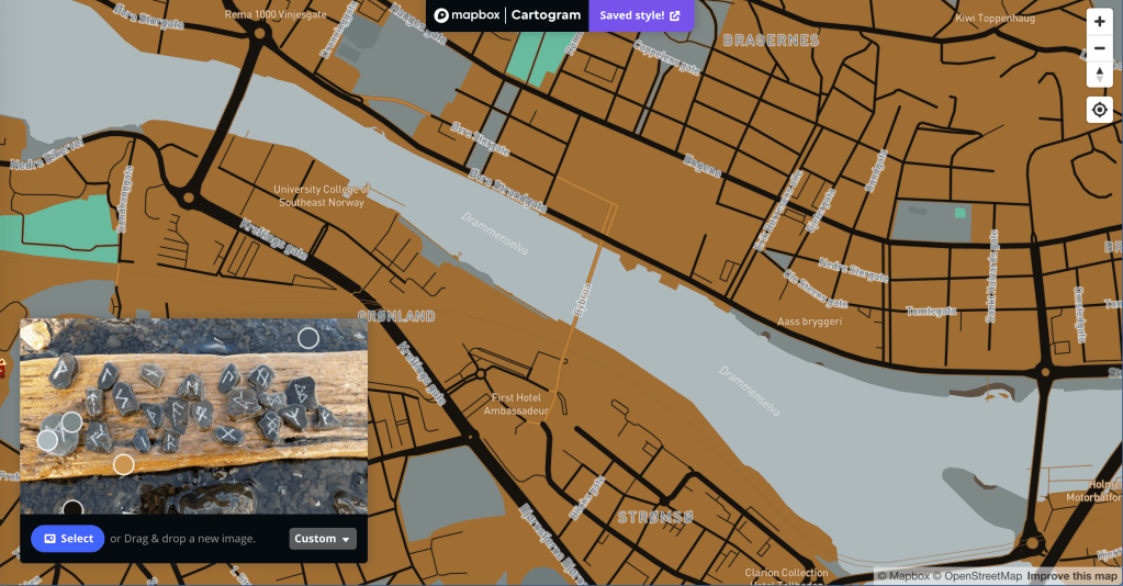
At the moment I am getting my head around Mapbox and OpenStreetMap, starting with creating some styles with Cartogram. This is going to be a lot of fun ❤
Which one do you like best?
Hi Tracey
Love the mapping story and images.
I used to do maps [below] with Adobe Illustrator back in the late 1980/early 1990s. TAFE sent me to California in 1986 to learn PostScript at Adobe in Mountain View and to research my Electronic Publishing course.
Detail of earlier version
Pretty basic stuff but not bad for 30 years ago! I also went to LA, Denver, Seattle and San Francisco for the research to meet developers of programs like Quark, PageMaker and the Microsoft suite of early apps like Word, Xcell, PowerPoint etc.
I look forward to trying some of your software progs!
Lots of love, stay safe.
Gazza Om Swastiastu [a prayer for your safety].
Garry Benson Dragon Design ABN: 89 053 812 580 Video & DVD Production, Photojournalism & Book Editing Services
PO Box 433 Yankalilla SA 5203 61 8 0429 196 924
Parcel Collect 1003024793 94 Main South Road YANKALILLA SA 5203
https://www.facebook.com/gazzarazzarinda
For my articles about travel and photography: https://geokult.com/tag/garry-benson/
Check out Instagram for some of my photos: http://instagram.com/garrybenson_ed_mod
I acknowledge the Traditional Custodians of the land on which I work and live, and recognise their continuing connection to land, water and community. I pay respect to Elders past, present and emerging.
>