
I have spent some time looking at maps of New Plymouth, ahead of the SCANZ2015 residency and symposium happening there in mid-January.
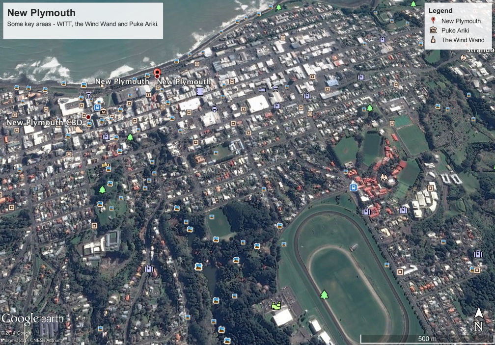
There are some useful sites on this wikimapia map including landmarks such as the WITT Hostel, Puke Ariki Museum, the Wind Wand and Pukekura Park. The below map is from Google Earth but it is not clear where the landmarks are.

In particular, I am interested in exploring the hydrology of the area and it looks like some of the original creeks are now under buildings or roads. I am hoping for some insights about the changes in the water flow for the development of the next phase of Words for Water. While I am at SCANZ I will be presenting the latest version of the Words for Water project (link to http://www.intercreate.org) as part of the night-time screening and the public art exhibition.

Leave a comment